Official State of Colorado Map
Please visit the Official Site of Colorado Tourism at Colorado.com for interactive maps and tourism information.
This map is furnished free of charge and is not to be sold or used for promotional, commercial or political purposes
The Colorado Travel Map is available for viewing and printing as a PDF. To access the files, mouse over the picture and select it with the left mouse button. For best printing results we recommend changing the Custom Zoom setting to “Fit Page”.
Click here to request a paper version of the Colorado Travel Map


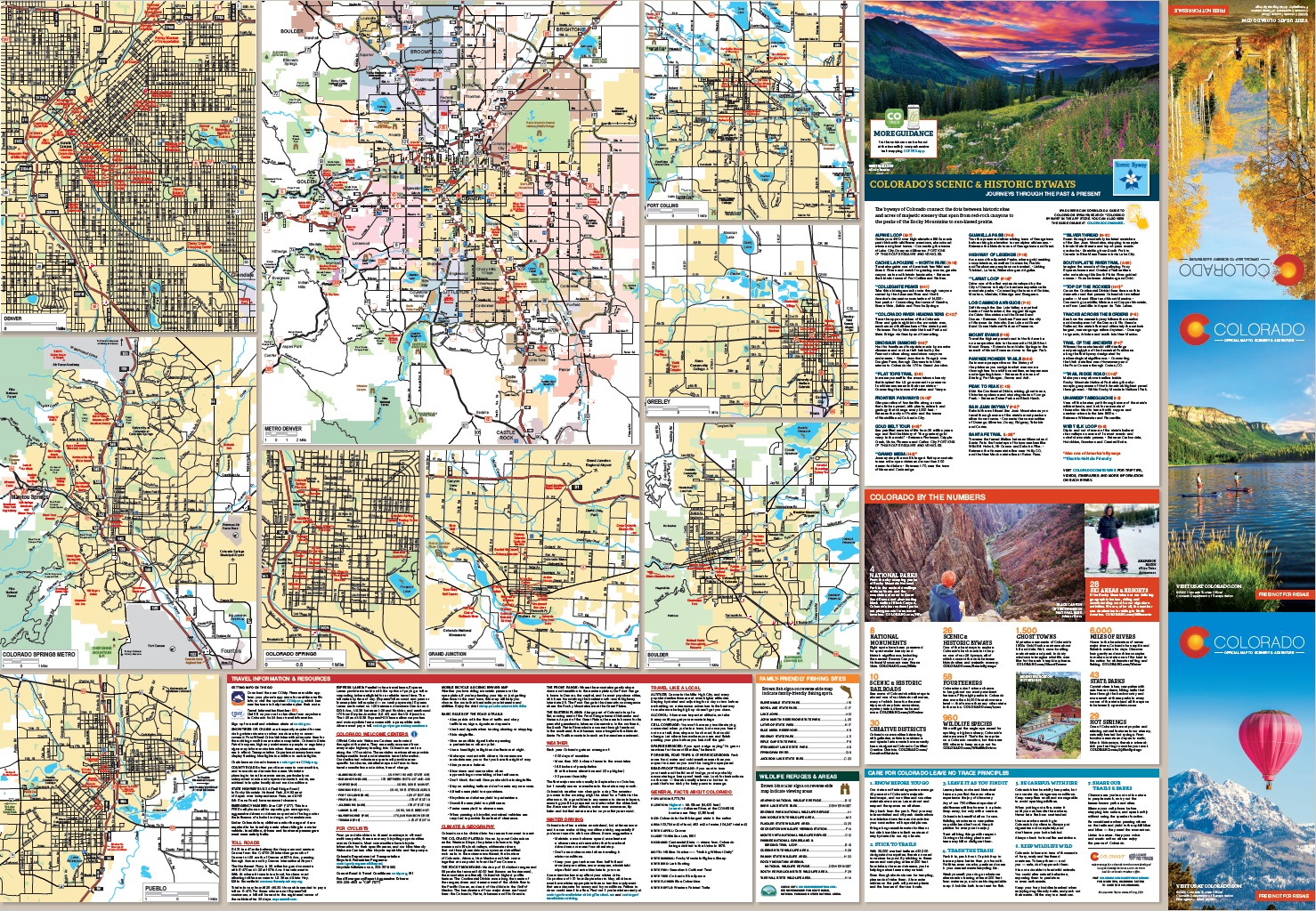
The information contained in this map is based on the most currently available data and has been checked for accuracy. DOT does not guarantee the accuracy of any information presented, is not liable in any respect for any errors or omissions, and is not responsible for determining "fitness for use".